
guatemala - nicaragua - usa


Solutions Built for Your Projects
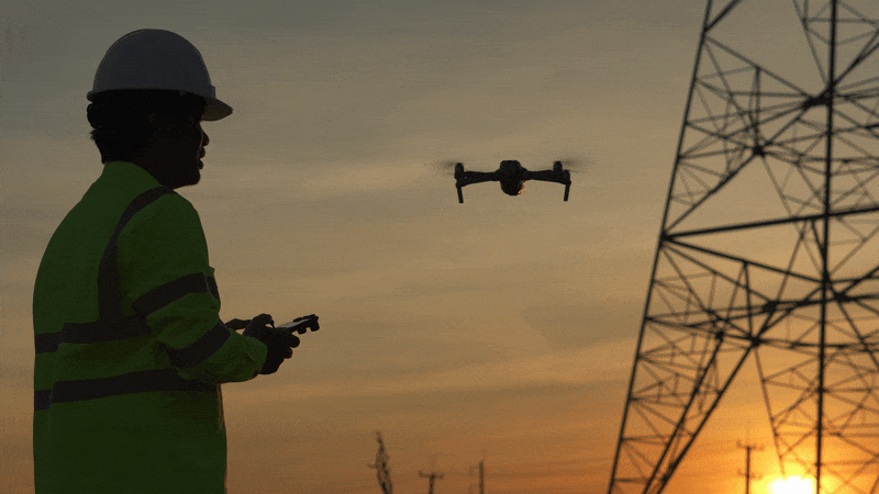
Advanced Survey Solutions Across Industries
Delivering accurate data through drone, GNSS, and geospatial technologies for mining, energy, and infrastructure sectors
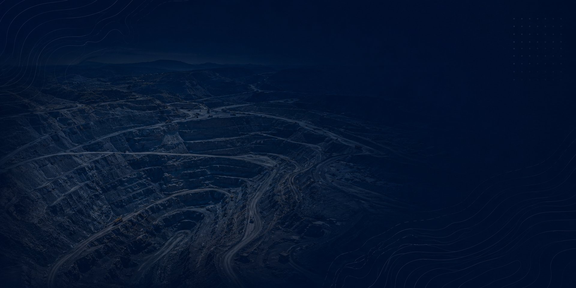
Mining
High-precision drone mapping, volumetric analysis, and asset inspection for mining operations, improving safety, efficiency, and cost control.

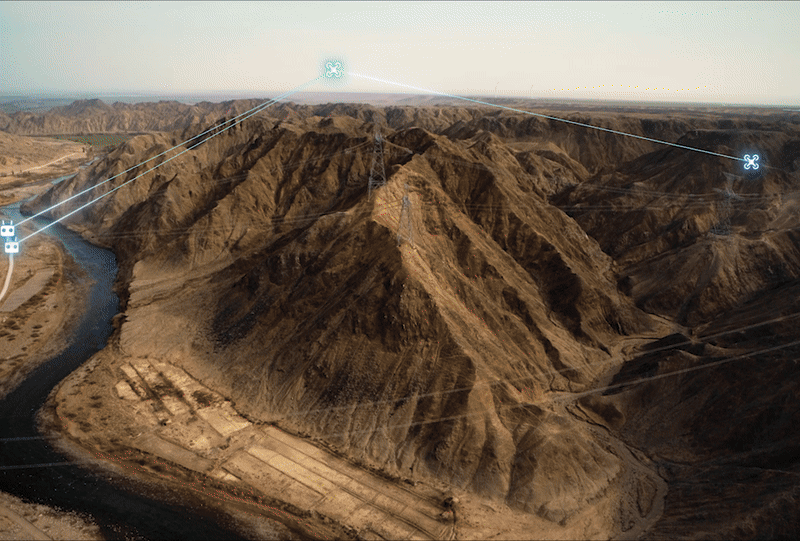
Energy
Advanced aerial inspections using thermal and optical sensors to detect faults, reduce downtime, and ensure operational reliability.
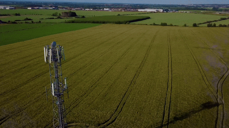
Comprehensive inspection and mapping of telecom infrastructure, enabling accurate assessment of towers, cables, and network assets.
Telecom
Comprehensive Geospatial Solutions for Your Business
Provide a general summary of the services you provide, highlighting key features and benefits for potential clients.
Fiber/ Telecom

High-precision data acquisition using drone and geospatial technologies to support planning, inspection, and maintenance of fiber optic networks.
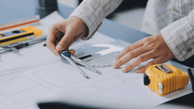
Legal & Cadastral
✔ Title deed preparation
✔ Land transfer legalization
✔ Land subdivision (dismemberment)
✔ Real estate transactions
✔ Urban property surveys
✔ Land subdivision and consolidation
✔ Construction stakeout
✔ Area verification and updates
✔ Technical and legal reports
✔ Cadastral plan registration
Cadastral / Urban
Integrated Surveying & Geospatial Services
Delivering precision data through drone, GNSS, and geospatial technologies across multiple industries.
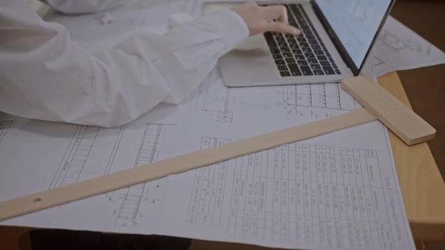
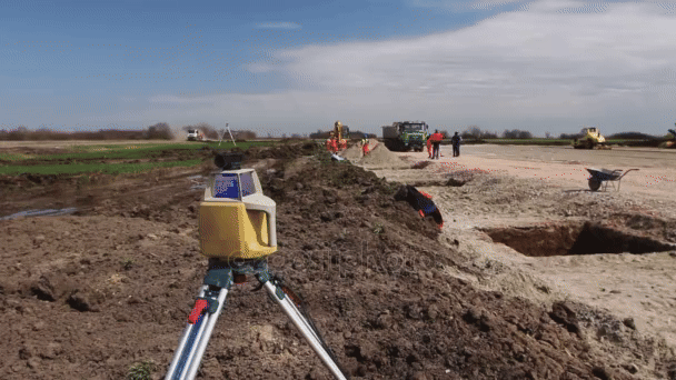
Topography
✔ Contour line generation
✔ Earthwork measurement and analysis
✔ Construction control and progress monitoring
✔ Surveying for engineering design
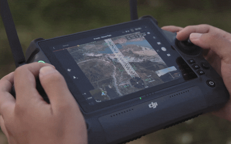
Drone
✔ Point cloud data acquisition
✔ Orthophoto generation
✔ Digital terrain and surface models (DTM/DSM)
✔ Tower and telecom infrastructure inspection
✔ Roadwork and agricultural applications
✔ Establishment of geodetic control points
✔ GNSS photo control surveys
✔ Geodetic certification and validation
✔ Surveying and stakeout using RTK systems (Base & Rover)
Geodesy
TELL US ABOUT YOUR PROJECTS

© 2026. Aether Services
Nicaragua
TEL: + (505) 2227-3627
Edificio OPUS, Primera Planta No.104
Managua, Nicaragua
Guatemala
TEL: + (502)3082-1435
Edificio Centro Ejecutivo 15 Calle 20-Zona 10-Oficina 106
Guatemala, Guatemala City
Powered By www.gcmadvertisingco.com