
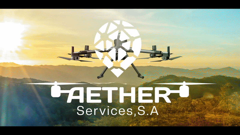
guatemala - nicaragua - usa


Drone Survey & Mapping Solutions
Drone, Marine & Geospatial Survey Solutions
Precision Aerial, Marine & Land Survey Solutions
High-accuracy data acquisition using RTK drones, drone boats, and advanced surveying systems for mining, infrastructure, and industrial operations.
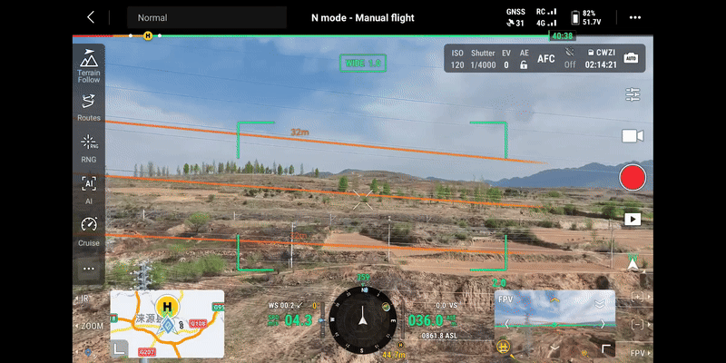
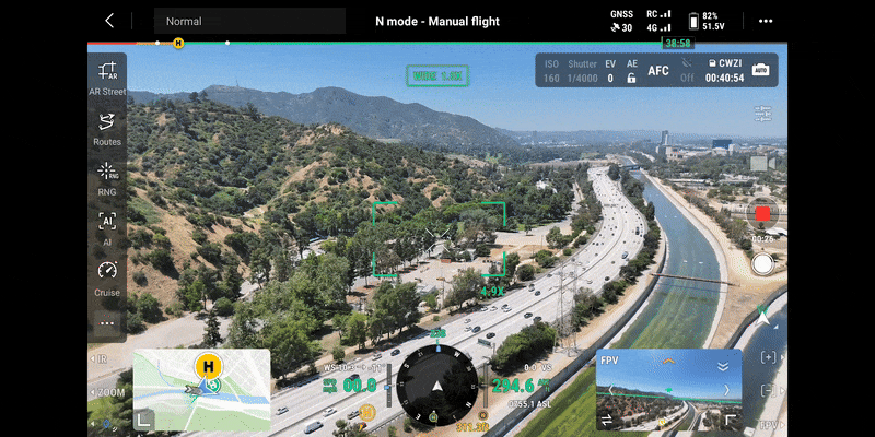
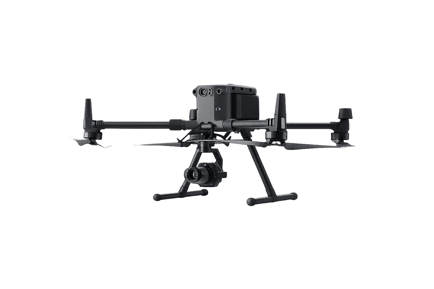
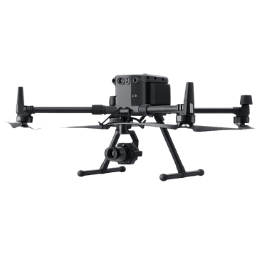
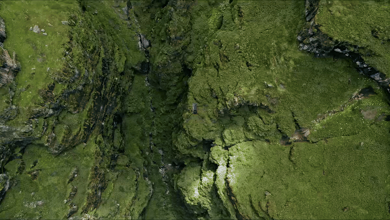
Aerial Intelligence Surveys
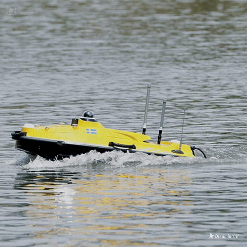
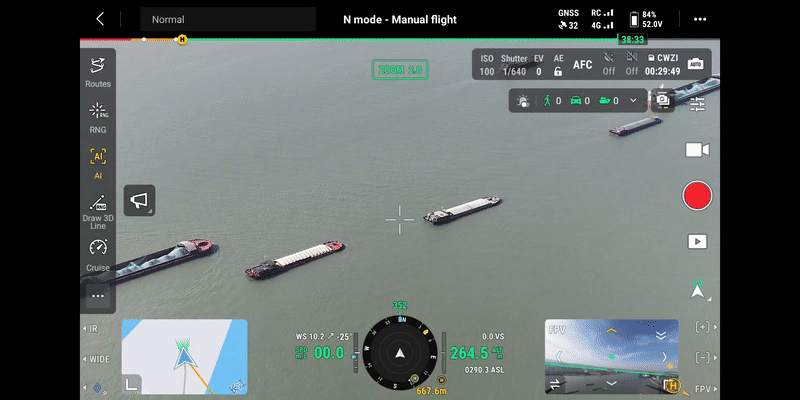
Hydrographic Surveying
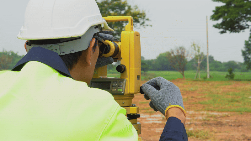
Land Surveying & Geomatics


OUR SOLUTIONS
Industries We Serve
Supporting critical infrastructure, energy, environmental, mining, and industrial projects with advanced geospatial intelligence.
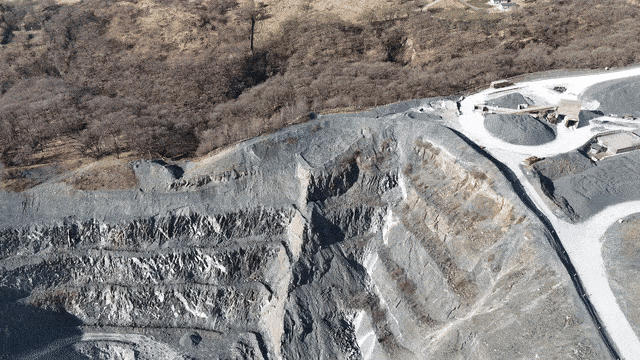

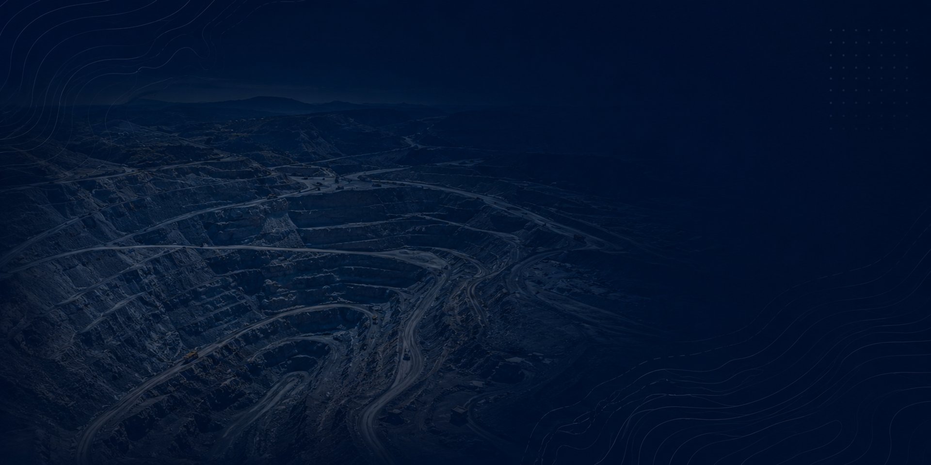
Mine Surveys
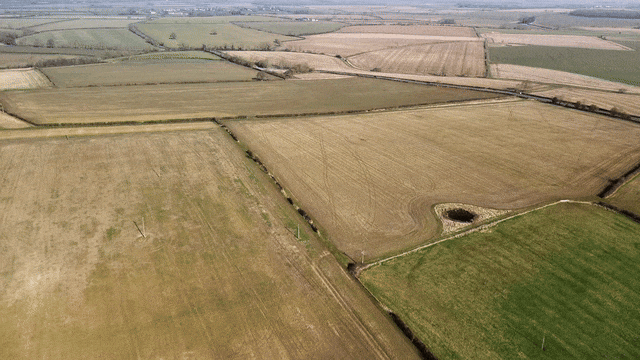
Rural Surveys
Electric Surveys
Fiber Optic Surveys
Maritime
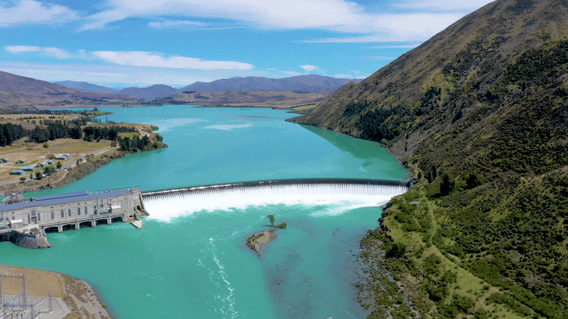
Water Conservation
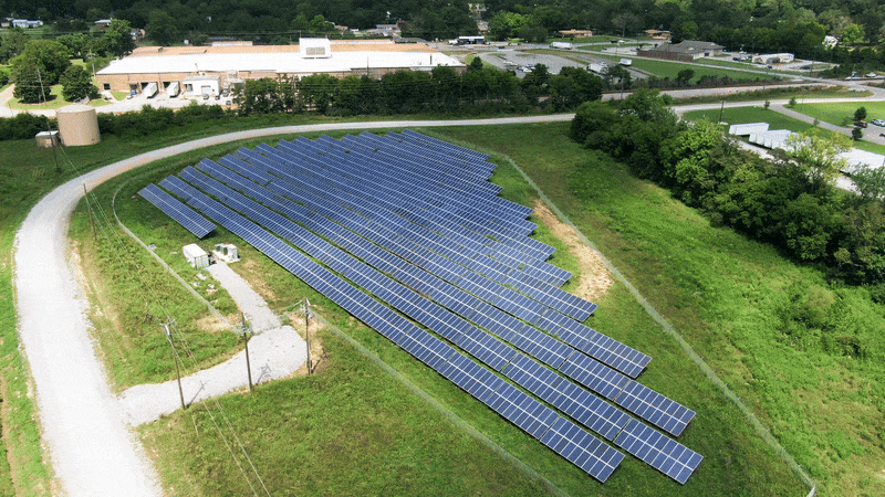
Renewal energy Surveys
Roads and bridges
Integrated Survey & Geospatial Solutions
Advanced geospatial technologies for infrastructure, environmental, mining, and industrial projects.

GNSS RTK Surveying Systems
Centimeter-level positioning and high-precision field surveying solutions for construction, infrastructure, and industrial operations.
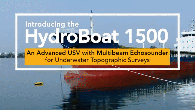
Hydrographic Drone Boat Solutions
Autonomous bathymetric and environmental surveying for rivers, lakes, reservoirs, and coastal projects, delivering accurate and reliable underwater data.
Our Capabilities

High Accurecy
Advanced Technology


Expert Support
On-Time Delivery
TRUSTED BY MINING, INFRASTRUCTURE, ENVIROMENTAL AND INDUSTRIAL PROJECTS

Advanced Surveying Applications for Every Industry
Supporting critical industries with advanced geospatial intelligence and surveying solutions.
Industries We Serve
TELL US ABOUT YOUR PROJECTS

© 2026. Aether Services
Nicaragua
TEL: + (505) 2227-3627
Edificio OPUS, Primera Planta No.104
Managua, Nicaragua
Guatemala
TEL: + (502)3082-1435
Edificio Centro Ejecutivo 15 Calle 20-Zona 10-Oficina 106
Guatemala, Guatemala City
Powered By www.gcmadvertisingco.com